
Why There Is No Signal in the Pit and What to Do About It
- Автор
- Inesa Leonidivna
- Дата
- 4 July 2026
- Час читання
- 5 min read
You can install the best sensors and the smartest server, but if data cannot get out of the lower benches, dispatching turns into yesterday's reports.
A quarry is the hardest radio environment we work in. A deep bowl, steel machine bodies, geometry that changes with every blast. So a serious digitalization project starts for us not with sensors but with a question: will there be a link here at all?
Why the signal dies with depth
A radio wave from a base station on the pit rim does not look around benches. The lower horizons end up in radio shadow — plain physics.
Public LTE is planned for the surface, and at 100–300 metres of depth it disappears first. Add reflections from metal and wet rock and you get sectors with no link, or a link that drops every minute. For monitoring that means holes in the data. For remote control it is a show-stopper: losing the channel for seconds stops the machine.
What a coverage analysis delivers
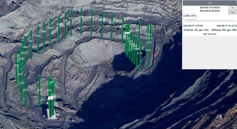
We build a digital model of the pit with the actual bench geometry and compute signal propagation for the chosen technology: private radio, Wi-Fi bridges, LTE. Then we go on site and validate the model with measurements. A project should rest on facts, not on "it should reach".
The output is a coverage map with confident-reception zones and radio shadows, plus specific answers:
- How many base stations and repeaters are needed and exactly where to put them.
- What to combine: fibre or a radio bridge for the backbone, radio for the last mile.
- How coverage will degrade as the pit deepens, and when to plan moving the nodes.
When it gets ordered
Most often before a dispatching rollout, so the system works from day one instead of after six months of fighting the comms. Second, before a remote control project, where link requirements are the strictest. And third, the most common in real life: the link "suddenly" got worse after another push-back and nobody understands why.
We do radio coverage analysis both as a standalone service and as phase one of an ATANURA project — with on-site measurements and a network design for your specific pit.